

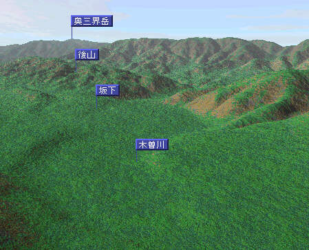
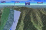
The surrounding of Sakashita was reproduced with CG by using online software and a Geographical Survey Institute numeric map "Kashmir". Moreover, it was entitled, 'Sky View Mt.Ena' and made the CG animation in the Mt. Ena.

| Mt.Ena and Hananoko Lake
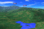
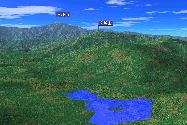
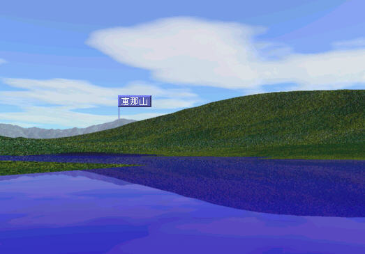
This CG commands a view from the lake of the Mt. Ena. Moreover, the high peak mountain can be seen. The top of this high peak mountain is a boundary in the Sakashita-cho and the Nakatsugawa City.
(600Å~400,78.1KB)
|
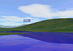
| Lake "hananoko"
The camping scene is maintained now though the "Hananoko" is an artificial lake made for agricultural rainwater. (523Å~365,25.6KB)
|
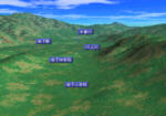
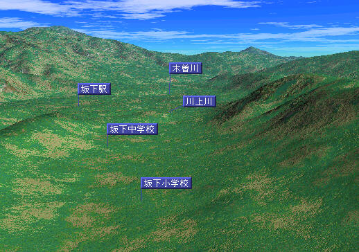
| Kawaue River
Sakashita was seen from the Kawakami-mura district. In the Kawaue banks of a river (Though the Kawaue river cannot be reproduced on CG), there are an elementary school and a junior high school. (518Å~364,69.8KB)
|
| Skyview Mt.Ena(QuicktimeMovie)
The Mt. Ena of which it was fond in this provinces since old times was made a digital reflection.
(1.16min,4.14MB)
|
|
|